Accurately measuring terrain is a task that required expensive equipment and specialized professionals. Today, you can do this right from your smartphone using applications that use GPS technology and artificial intelligence to calculate areas, distances and perimeters in seconds.

Medidor de Áreas e Distâncias
Farmis
Technology has completely changed the way landowners, real estate brokers and engineers work with land measurements.In this complete guide, you will learn advanced strategies for measuring land with applications, optimizing your results, and avoiding common mistakes that compromise the accuracy of your measurements.
Advertisement
How Terrain Measurement Apps Work
Modern measurement applications use the GPS (Global Positioning System) system of your mobile phone to capture precise coordinates of points in the field. When you mark a point, the app records latitude and longitude, allowing you to automatically calculate distances and areas using complex mathematical formulas. This process is much faster than traditional methods, saving hours of field work.
In addition to GPS, many advanced applications use computer vision camera and augmented reality to improve the accuracy of measurements.The combination of these technologies allows you to view the terrain in real time while marking the points, reducing errors caused by inaccurate markings or distraction during the process.Some apps even automatically correct data based on movement patterns that identify when you made a mistake when marking a point.
Constant GPS calibration is another crucial factor in the operation of these applications.The longer your phone stays on and connected to the satellite signal, the more accurate the calculation of coordinates becomes. This means that modern applications learn over time and improve their measurements as you continue to use them in the same geographical area.
Advanced Strategies to Maximize Measurement Accuracy
To get truly accurate results when measuring a terrain, you need to take a systematic approach that goes beyond simply opening the app and clicking on randomly points. The first strategy is to calibrate your GPS before you start, leaving your phone on in the field for at least 3 to 5 minutes so that the signal from the satellites stabilizes. This initial wait time is critical and many people neglect this step, causing error margins of 5 to 10% in measurements.
You should always mark the terrain points following a specific pattern, such as walking clockwise or counterclockwise, always starting from a clearly identifiable reference point. By maintaining this consistency, you reduce the chance of skipping a corner or counting the same area twice, errors that compromise the entire measurement. In addition, photographically note each marked point, taking photos of the site helps in the subsequent validation of the data and allows you to compare the digital measurement with the reality of the terrain.
An advanced strategy that professionals use is to make multiple measurements of the same terrain at different times of the day and then calculate the average of the results. This technique, known as measurement redundancy, compensates for the natural variations in GPS accuracy caused by different positions of the satellites over the hours. If you get three measurements ranging between 1,500m² and 1,520m², you can trust that the actual value is close to 1,510m², significantly reducing the margin of error of your final estimate.
Technical Optimizations for More Reliable Results
GPS accuracy varies significantly depending on the environment where you are measuring the terrain. If you work in urban areas with tall buildings, accuracy can drop to 5 to 10 meters margin of error, while in open rural areas you can achieve accuracy of 1 to 2 meters. You should always consider the type of environment when interpreting your results and, when necessary, use applications that offer differential correction mode or access to additional satellite networks such as GLONASS or Galileo to improve reliability.
Another important technical aspect is to keep your phone in high performance mode during measurements, disabling background applications that consume processor and battery resources. Less busy processors can communicate better with GPS satellites, resulting in stronger signals and more accurate measurements.In addition, you should charge the phone completely before starting, as low battery affects the quality of communication with GPS.
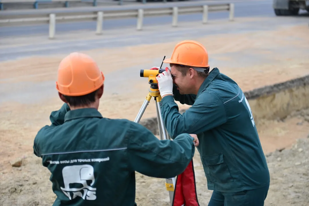
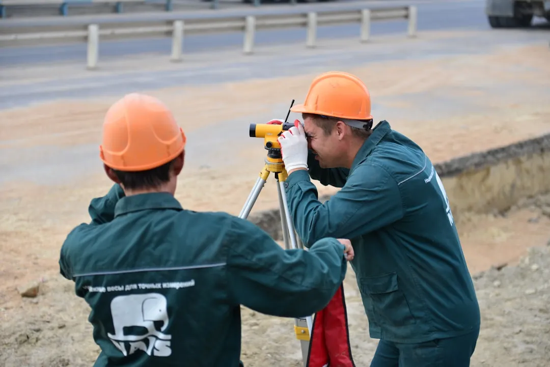
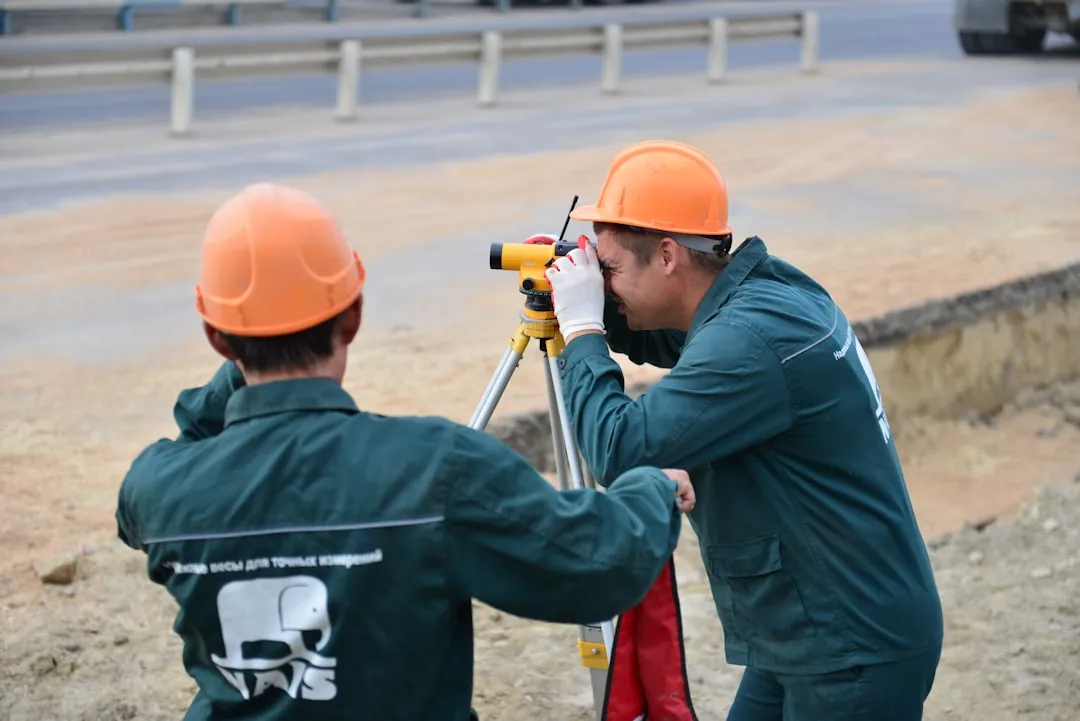
Consider using a tripod or stabilizer to keep your phone stationary during critical terrain point markings.This simple, often overlooked detail can reduce parallax errors caused by involuntary movements of your hand. Professionals in topography already know this, and you can apply the same technique when using mobile apps to get results that rival measurements taken with specialized equipment.
Selecting the Ideal App for Your Needs
There is no single app that is best for all terrain measurement scenarios, as different apps offer different levels of accuracy, facilities, and functionality. If you need to make quick measurements of small terrain, simple, lightweight apps work well and consume less battery. However, if you work with large or uneven terrain, more sophisticated apps with features like offline map import and advanced differential fixes will offer much more value.
When choosing your app, you should investigate which GPS receiver the app uses, as some can access only American satellites while others have access to constellations of international satellites such as Galileo (European) or GLONASS (russian), improving accuracy anywhere on the planet. Also check if the app offers data export in standard formats such as KML, shapefile or CSV, essential features if you need to share your measurements with engineers or geoprocessing professionals who use more specialized software.
Read carefully the user reviews focusing not only on the overall grade, but on the specific comments on accuracy of measurements and stability of the app in different weather conditions.Many developers claim accuracy of ±1 meter, but in real practice with ordinary smartphones you get something closer to ±3 to 5 meters without advanced differential treatment. Choose applications whose accuracy claims are realistic and proven by multiple independent users.
Step-by-Step Procedures for Measuring Your Land Properly
Start by preparing your mobile phone and work environment at least an hour before you start the actual measurements, leaving the GPS active so that it captures how many satellites you can get. Open your chosen measurement application, make sure that location permissions are enabled and put the app in full screen to avoid distraction with notifications. Visually identify all corners and boundaries of the terrain you intend to measure, physically marking them with something visible such as bottles, sticks or flags if the terrain is too large.
Now position yourself in the first tale of the terrain, keeping your phone at consistent height (usually chest height is ideal), wait 3 to 5 seconds for the GPS to capture a stable signal at that point, then tap the button to mark point of the application. Walk to the next corner following the perimeter of the terrain consistently, marking each point with the same waiting and confirmation procedure. Continue this process until you have marked all the corners and returned to the first point, closing the perimeter of the terrain in the application.
After scoring all the points, the application will automatically calculate the total area of the land in square meters or hectares depending on the size. Before relying on this result, you should visually review the polygon drawn by the app, checking that all the corners have been marked correctly and that the shape corresponds to what you see in the real terrain. If you notice discrepancies, you can manually edit the trouble spots, remove and re-mark points, or even discard the measurement and start again if there are many errors.
Record the result obtained along with additional information such as date, time, weather conditions and number of satellites connected at the time of measurement, all this helps in the subsequent validation of the data. If the application offers photo feature with coordinates, take advantage to take photos of the main corners of the terrain, creating a visual record that subsequently facilitates the confirmation of the accuracy of your measurement. Save or export the data immediately before turning off the application, avoiding loss of information if the app closes unexpectedly.
Validating and Comparing Your Measurement Results
After getting an initial measurement of your terrain, you should never completely rely on a single result, especially if this measurement is important for legal or financial decisions. The most effective strategy is to perform at least two additional measurements at different times, ideally on different days, and then compare the three results. If your measurements vary by less than 2 to 3%, you can trust that it is close to the actual value, as these small variations are normal and caused by fluctuations in the availability of GPS satellites.
You can also validate your results by comparing with measurements of nearby land you already know the area or against registration data available in municipal offices and real estate offices.Many cities provide free georeferenced data that allows you to compare the measurement of your app against official values registered in government, offering an objective external validation. This comparison not only confirms whether your app is working properly, but also helps you understand the typical level of discrepancy that you expect in future measurements.
If you notice that your measurements consistently vary a lot from what you expect, you may be having problems with GPS calibration or have chosen an application that is unsuitable for your specific environment. In this case, try using a different application on the same terrain and compare the results, usually the multiple app average offers better accuracy than relying on a single app. Also consider requesting a professional measurement using specialized topographic equipment for very large terrains or when accuracy is absolutely critical for your project.
Practical Applications and Real Use Cases
Real estate brokers use measurement apps to make quick presentations of properties to clients, showing the land area impactfully during visits, building trust and demonstrating professional knowledge. This practical application saves weeks that were traditionally required to obtain engineer report, allowing sellers to close deals faster. A broker in Sao Paulo can measure a corner land in 10 minutes during a visit, getting result within 100 to 200 m² of margin, enough to price the property properly.
Farm owners use these measurements to calculate land taxes, crop planning and property division among heirs, situations where an approximation of 2 to 5% is acceptable. Farmers measure their crops directly in the field using the app during daily work, integrating this information into the farm management system without having to hire surveyors. This integrated workflow increases operational efficiency significantly, as any team member can collect data without specialized training.
Civil engineers use measurement applications as a complementary tool during initial terrain reconnaissance, after which they hire licensed surveyors for final measurements that will be used legally in projects.In this professional application, the app offers preliminary knowledge that accelerates work planning, reducing the time of surveyors in the field and therefore reducing project costs. An engineer can arrive on a site, quickly measure with his app and already start preliminary sketches, gaining valuable hours in the project schedule.
Energy and infrastructure companies use applications to measure servitude ranges, turret or substation installation terrain, situations where you need many measurements in multiple locations.The speed of mobile measurement allows technicians to complete reconnaissance work in fraction of the time it would take with traditional methods, significantly impacting the timeline of large-scale projects. A project that required a topographic workweek can be completed in one day using mobile measurements combined with later laboratory validation.
Data Processing and Common Error Analysis
A very common mistake when measuring land with applications is not to consider the mapping used by the app in displaying the data, especially in very large terrain where differences between spherical and planar projection can add up to hundreds of square meters in error. You should always check which projection your app uses (usually WGS84 or SIRGAS2000 in Brazil) and, if available, configure to use the appropriate projection for your specific geographic region. This seemingly smaller technical configuration can reduce errors of up to 2% on large properties.
Another frequent problem is to mark points with precipitation or high humidity, conditions that degrade the quality of the GPS signal significantly because water interferes with the propagation of electromagnetic waves from satellites. You should avoid measuring terrain during rain or immediately after, preferring dry and clear days where the GPS can capture satellites with better signal quality. If absolutely necessary measure in humid conditions, perform the measurement multiple times and calculate the average of the results as compensation for the reduced quality of the signal.
Very uneven terrain with many curves, steep slopes or presence of dense vegetation also present special challenges as it is difficult to keep your mobile phone at the same level and consistent height during all point markings.In this situation, you may need bad times and consider using a drone equipped with GPS to make aerial measurements, offering complete visualization of the terrain and reducing errors caused by ground irregularities.Many modern drones have applications that automatically calculate area based on aerial photos, offering results that are often more accurate than manual measurement at ground level.
Integration with Other Software and Systems
After obtaining your terrain measurements using mobile application, you often need to integrate this data with other systems that your company or customer uses, such as spreadsheets, real estate management software or technical registration systems.Most modern applications offer export in open formats such as CSV, KML or GeoJSON, allowing you to import these coordinates and areas into any professional software.This integration creates continuous workflow where data collected in the field automatically feeds your centralized management system.
You can use tools like Google Earth Pro or QGIS (free) to view and validate your measurement data collected via app, comparing against satellite images and other layers of publicly available geographic information. This cross-validation helps you identify discrepancies quickly, allowing you to redo problematic measurements before presenting results to customer or using in important decisions.Many professionals create workflows where mobile app collects raw data, then this data is imported into desktop software for cleaning, validation and final analysis.
For companies that need to manage multiple terrain measurements in a systematic way, consider implementing a solution that synchronizes data between mobile app and central server offers great value. You get multiple technicians to measure different properties using their mobile phones, with all data automatically centralized in a single database, accessible for analysis and later reporting. This scalable approach transforms terrain measurement from an isolated manual activity to an integrated professional process that supports strategic decisions based on systematically collected accurate data.