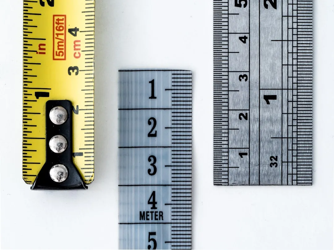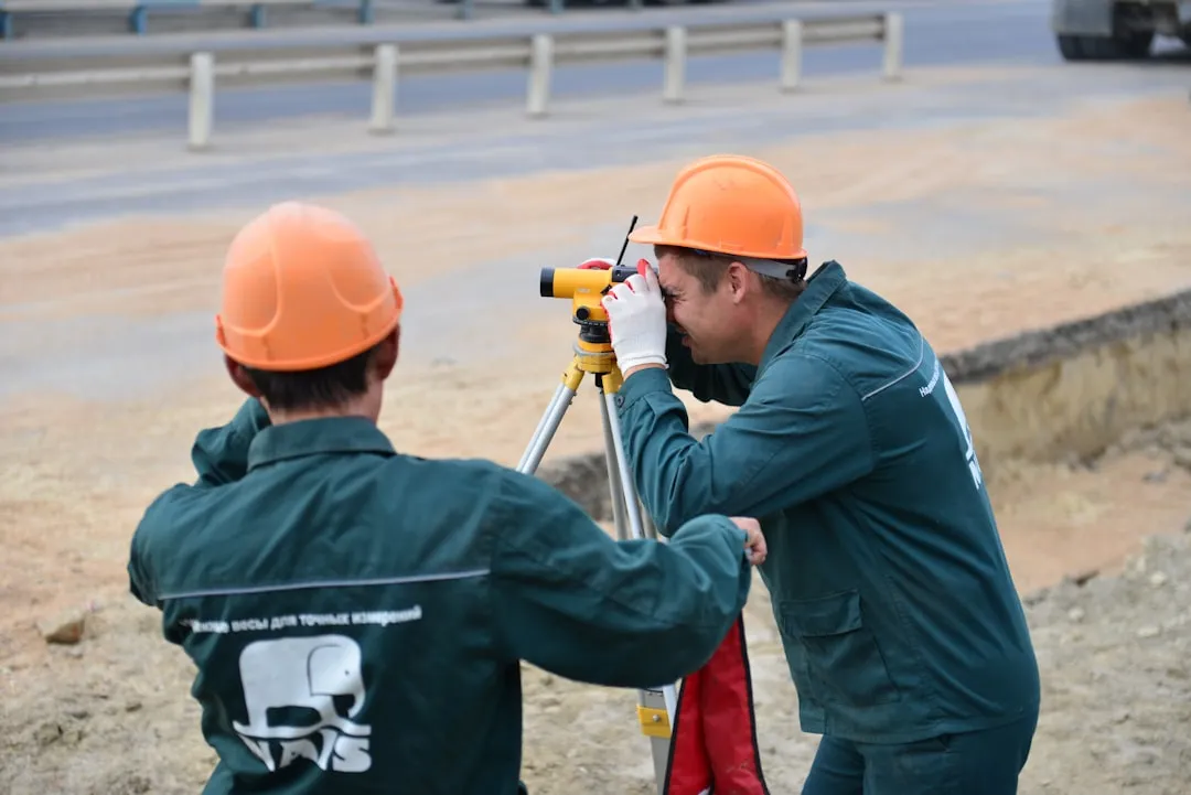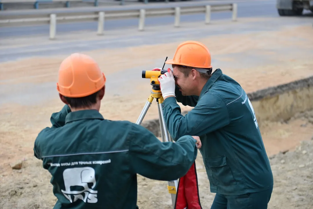
An application to measure terrain has transformed the way professionals and owners perform topographic surveys.With GPS technology and modern smartphone cameras, you can map areas with surprising accuracy, eliminating the need for expensive and complex equipment.
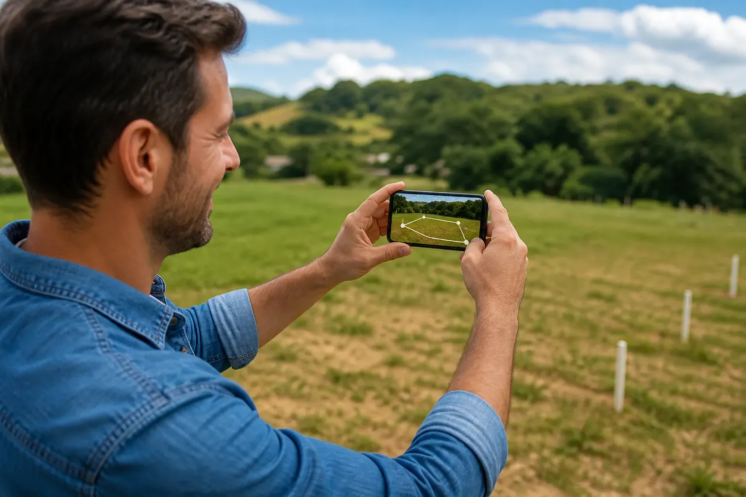
The evolution of measurement applications has made these tools accessible to anyone who needs to calculate dimensions of properties, lots or construction areas.You no longer need to hire a specialized surveyor for simple measurement tasks, as the technology is literally in your hand.
How App Measurement Works
Modern applications for measuring terrain use different technologies together to ensure accuracy.The GPS of your smartphone locates specific points on the ground, while the camera captures images that are processed by artificial intelligence algorithms to calculate distances and areas.You simply point to a point, mark, and the application does the mathematical calculations automatically.
Augmented reality technology complements this process by allowing you to view real-time measurements on the image captured by the camera. This means you can see exactly how the terrain will be divided or how many square meters each section has before any decision is made. The system also compensates for altitude variations and ground irregularities to provide more reliable data.
Real Scenarios of BrimVue Use
Imagine that you own an uneven plot of land and need to sell a portion of it. Instead of waiting weeks for a surveyor, you open BrimVue on your mobile phone, mark the vertices of the plot, and in minutes has an accurate map with dimensions and total area. The application generates a visual report that can be shared with potential buyers or with public bodies for official records.
Builders use BrimVue to quickly verify that a project fits the actual lot size before investing in full topographic surveys. A company can have multiple projects in progress and use the app to quickly compare dimensions between different locations. This saves team time and reduces errors in preliminary estimates that could cost thousands in rework.
Farmers need to know precisely the footage of their crops to calculate necessary fertilizers and seeds. With BrimVue, you map your crops in minutes, get the exact area and automatically divide into smaller sections if necessary. The application also allows you to track seasonal changes in the dimensions of cultivated areas, facilitating productivity analyses per square meter.
Landscaping professionals use the app to draw up accurate budgets for gardening or paving projects. You measure the terrain on site, the app calculates the area, and you can estimate quantity of materials and labor more accurately. Customers receive budgets based on real data, not on visual estimates, increasing the reliability of your business.
Precision and Practical Limitations
The accuracy of a terrain measurement application varies depending on the site conditions and the quality of the equipment used.In open areas and with good GPS signal reception, you can expect accuracy of up to 2 to 3 meters in large area measurements.For small terrains and environments with clear view of the sky, the margin of error reduces to less than 1 meter, which is sufficient for most commercial applications.
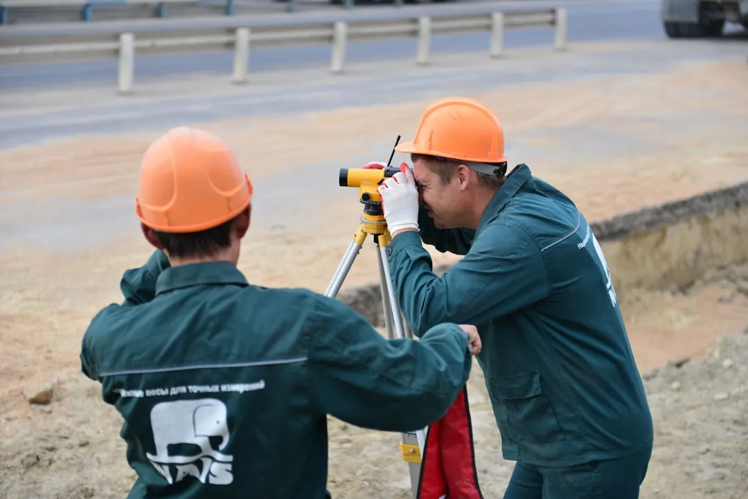
Limitations appear indoors, near tall buildings or under dense tree cover, where the GPS signal becomes weak. In these situations, the application may suffer variations in accuracy or even fail to provide reliable measurements.You should be aware of these limitations and consider professional topographic surveys for projects that require centimeter accuracy.
Advantages in Relation to Traditional Methods
Hiring a professional surveyor costs between hundreds and thousands of dollars, depending on the size and complexity of the terrain. An application to measure terrain offers an economical alternative to preliminary measurements or quick checks, with virtually zero cost after the initial investment in the smartphone.
Speed is another substantial advantage you experience right away. While a surveyor can take days to schedule and perform work, you perform measurement in minutes.This speeds up business decisions and allows you to adapt projects quickly as needed without waiting for third parties.
The ease of use puts this technology within reach of anyone, regardless of technical experience. You do not need to understand trigonometry or how theodolites work to obtain useful measurements.The intuitive interface guides you through the process, making the task accessible even to lay owners in topography.
Tips for Maximizing Accuracy in Measurements
For best results when using an app to measure terrain, position yourself in open areas with clear view of the sky to ensure good GPS reception. Avoid taking measurements during rain or at times when GPS shows greater interference. Mark points that are physically visible and clearly identifiable to avoid confusion and duplication during the process.
Perform multiple measurements of the same terrain at different times and compare the results to validate data consistency. If the numbers vary significantly, GPS conditions are likely to be inadequate at that location. Combine application measurements with terrain reference photos to have a visual record that complements the numerical data collected.
Calibrate your device before using the app for the first time, allowing the GPS to acquire signal for a few minutes before starting the markings.This significantly improves the quality of subsequent measurements and reduces cumulative errors throughout the process. Keep the smartphone with proper battery throughout the operation, as GPS consumes energy intensively.
Complementary Integrations and Functionalities
Many modern applications for measuring terrain integrate with CAD software and project management platforms.You can export the collected data in formats that work with professional technical drawing tools, while maintaining the original information without the need for manual reinsertion.This integration saves time significantly in workflows that require formal technical documentation.
Cloud storage features allow you to access your previous measurements anywhere, making it easy to compare projects or revisions over time. You can share data directly with customers, suppliers or teammates through secure links, improving collaboration and transparency in projects. Automated reports generate professional documents from the collected data, ready for presentation in meetings or submission to public bodies.